What Is LiDAR Mapping?
Published on: 14/10/2026
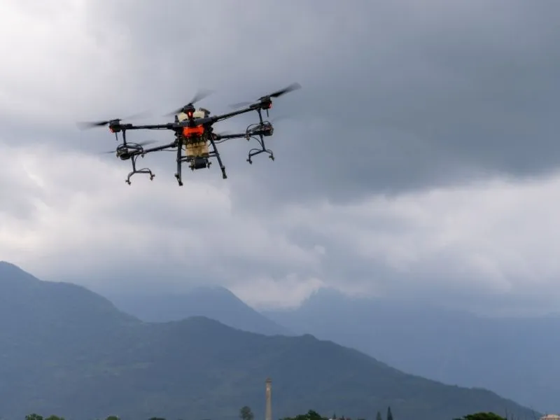
Learn how LiDAR mapping and drone technology capture detailed terrain data, create 3D elevation models, and support accurate site planning, drainage design, earthwork estimates, and land development.
LiDAR Mapping