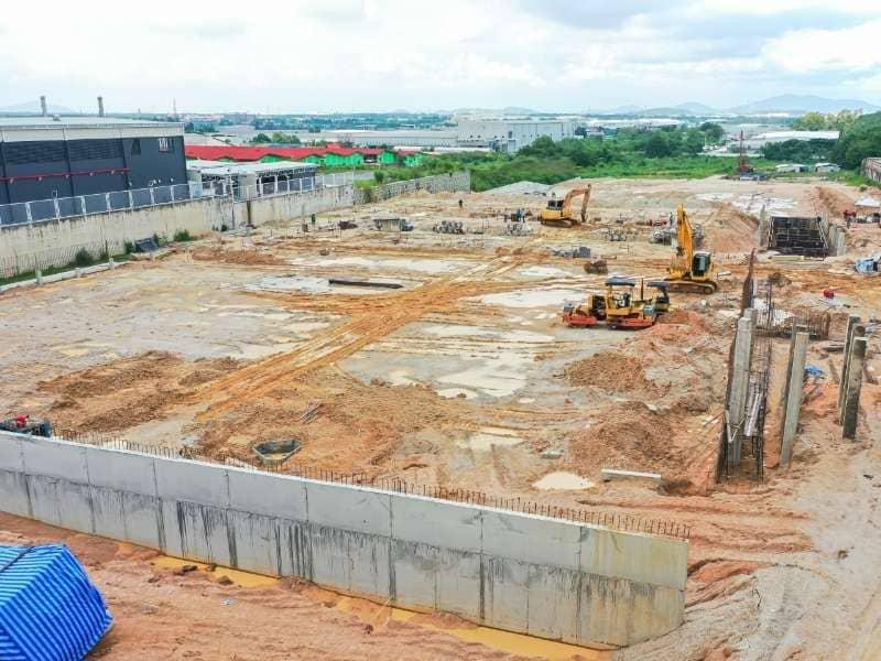
LiDAR Surveying for Earthwork Estimates on Large Development Sites
Moving dirt is one of the biggest costs on a large development site. It’s also one of the easiest costs to get wrong. If your estimate is based on old maps or a few scattered elevation shots, the numbers can be off by enough to hurt your bid or your schedule. LiDAR surveying fixes much of this by measuring the ground in fine detail before design work starts.
This guide is for land developers and civil engineers, with tips that contractors will find useful too. It explains how LiDAR collects data, how that data turns into a ground model, and how teams use it to plan grading. Every site is different, so use this as a practical starting point and not as engineering advice.
How LiDAR Mapping Captures Existing Terrain Across Large Sites
LiDAR mapping uses a laser to measure the ground. A sensor on a drone, helicopter, or plane sends out quick pulses of light. Each pulse bounces back, and the sensor uses GPS and motion data to record exactly where it hit. One flight can collect millions of these points.
This works best on big sites. A ground crew can only take so many shots in a day, especially in brush, ditches, or wet areas. An aerial lidar survey covers the same land faster. It also records far more detail between the spots a crew would pick.
Trees are another reason teams choose LiDAR. Some laser pulses slip through gaps in the leaves and reach the ground below. A camera can’t do that. Photogrammetry, which builds maps from overlapping photos, can only show what the camera sees. A very thick brush still blocks many pulses, so results under heavy cover will vary.
Using Point Cloud Data to Build Accurate Terrain Models
A lidar survey first produces a point cloud. This is a huge 3D set of measured points. Before you can figure out volumes, those points need to be sorted. Processors label them as ground, trees, buildings, or water, and they remove junk points like birds.
The ground points are then used to build a terrain model. People often call this a bare-earth surface because it shows the land with trees and buildings removed. Engineers can turn it into contours or a surface for their design software. How good it is depends on how many points were collected, how well they were sorted, and how well the data was tied to known locations on the ground.
Those known locations are called ground control. They’re points measured on site that help line the LiDAR data up with your project’s map system and elevations. Ask your provider how they’ll check accuracy and what report you’ll get. Get those answers in writing before the flight.
Estimating Cut and Fill Volumes From LiDAR Elevation Data
Cut and fill numbers come from comparing two surfaces. One is the existing ground from the lidar survey. The other is the finished grade from the design. Software measures the difference to show where dirt needs to come out and where it needs to go in.
LiDAR captures real bumps, dips, and old dirt piles on the site. Thin data tends to smooth those features out, which can throw off your numbers. On a big site, small elevation errors spread over many acres can add up fast.
A few things still affect the final totals:
How much the soil shrinks or swells, which comes from soil testing and not from LiDAR
How deep the topsoil goes and how much bad material must be hauled away
Spots where few pulses reached the ground, like thick brush or standing water
Any changes to the site between the flight and the start of grading
Think of the LiDAR volume as your measured starting point. Your engineer and contractor will adjust it based on soil data and field experience. This keeps the estimate grounded in real measurements.
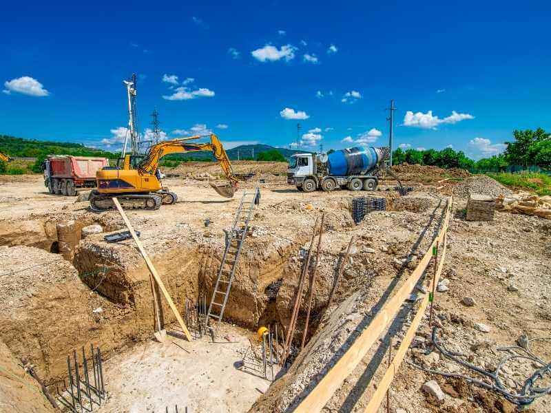
How Drone LiDAR Surveys Support Earthwork Planning and Phasing
Drone lidar mapping works well on many development sites. Drones fly low and can launch on short notice. That makes it easier to schedule repeat flights. For very large or remote areas, a plane may still be the better choice.
Repeat flights are a big help when grading happens in phases. The first flight records the site before work starts. Later flights show how the ground has changed. By comparing each flight to the last one, you can see how much dirt has moved, what’s left in piles, and whether each phase is on track.
Owners can use this data to check what they’re being billed for. Contractors can use it to plan better haul routes. It can also warn you when a phase is running short on fill dirt. Drone flights must follow FAA rules and any site rules, so confirm timing and access with your provider early.
Integrating LiDAR Deliverables Into Construction and Site Development
LiDAR data only helps if your team can use it. Before the survey, agree on what files you’ll get and what format they’ll be in. Also confirm the map system and elevation reference your engineer uses. Common deliverables include point clouds, bare-earth surfaces, contours, and volume reports.
Civil engineers usually load the surface into their design software. They use it to plan grading and drainage. Contractors may use it for estimating. When everyone works from the same ground surface, there are fewer arguments about quantities later.
LiDAR does have limits. It doesn’t set legal property lines, and it doesn’t replace licensed surveyors or engineers when their work is required. It can’t see buried pipes or tell you what kind of soil you have. Use it as a strong base, then add soil, utility, and other data from the right experts.
Frequently Asked Questions
How accurate is lidar surveying for earthwork estimates?
Accuracy depends on the sensor, flight height, number of points, trees, ground control, and processing. Many projects get results good enough for design work, but you shouldn’t assume that. Ask your provider for a clear accuracy target and a report that checks it. Make sure the target meets your engineer’s needs before the flight.
Is LiDAR better than photogrammetry for cut and fill?
On open, bare sites, photo-based mapping can work well and may cost less. LiDAR does better on sites with trees or brush because some pulses reach the ground. It also handles plain, flat dirt more reliably. The best choice depends on your site, your accuracy needs, and your budget.
How long does a drone lidar survey take on a large site?
The flight itself is often quick compared with processing. Total time depends on site size, weather, airspace approval, ground control, and the files you need. Sites with lots of trees can take longer to process. Ask for a schedule that lists flight, processing, and delivery dates.
Can LiDAR data be used to track grading progress?
Yes, repeat flights work well for this. Each new surface can be compared to the first flight or to the design grade. Teams use the results to check bills, track dirt piles, and plan phases. Use the same map system and ground control for every flight so the numbers line up.
Does a LiDAR survey replace a topographic survey from a licensed surveyor?
That depends on your project and local rules. LiDAR can give you detailed ground data, but some work may need to be done or signed by a licensed professional. Rules can change based on location, client, and project type. Ask your engineer and the reviewing agency what they’ll accept.
