Drone LiDAR Mapping for Solar Farm Terrain and Access Planning
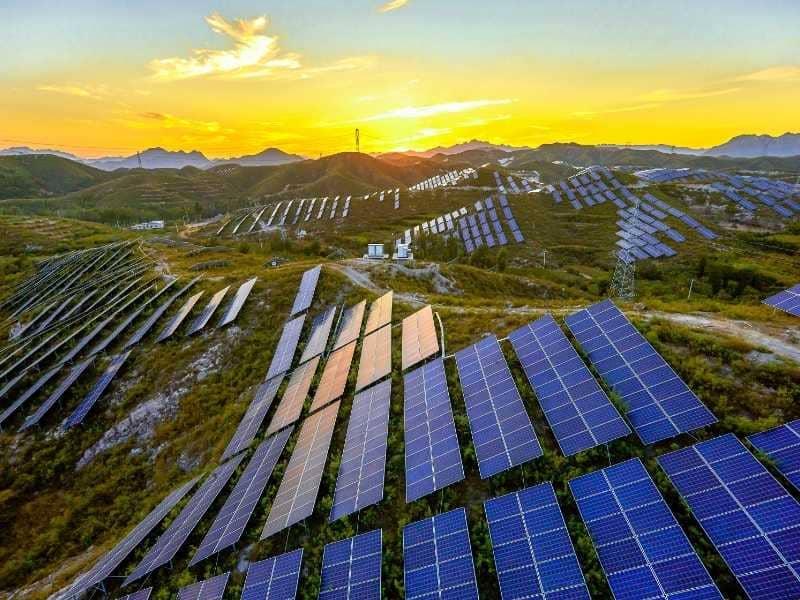
A solar site can look flat from the road and still hide real problems. Small slopes, low spots, and old drainage paths often show up only after grading starts. By then, fixing them costs time and money.
Drone LiDAR mapping gives solar teams a clear look at the ground before the design is locked in. It measures terrain across large sites quickly, even where brush or trees block the view. Better terrain data early leads to fewer design changes and fewer surprises in the field.
This guide is for solar developers, civil engineers, and EPC contractors. It covers how LiDAR data supports terrain review, drainage planning, access roads, panel layouts, and construction prep. It also explains what to confirm before you order a drone LiDAR survey.
Evaluating Solar Farm Terrain With Drone LiDAR Mapping
Drone LiDAR mapping uses a laser sensor mounted on a drone to measure the ground. The sensor sends out rapid light pulses and records how long each one takes to return. Those returns build a point cloud, which is a dense 3D set of measured points.
Utility-scale solar sites often cover large tracts of land, so walking every part isn’t practical. A drone LiDAR survey can capture wide areas in a short field window. The data is then processed into models that engineers can bring into their design software.
LiDAR vs. Photogrammetry for Solar Sites
Photogrammetry builds 3D models from overlapping aerial photos. It works well on open, bare ground with clear sightlines. It struggles where grass, brush, or trees hide the soil surface.
LiDAR pulses can pass through gaps in vegetation and reach the ground. That lets processors separate ground points from plant cover and create a bare-earth model. Many solar projects use both, with LiDAR for terrain and photos for visual context.
Identifying Slopes, Drainage Patterns, and Ground Elevations
Ground elevation data is the base for almost every solar design decision. A digital terrain model, or DTM, shows the bare ground surface without vegetation or structures. Engineers use it to read slope, direction, and elevation across the whole site.
Slope matters because racking systems and trackers have grading limits. Those limits vary by manufacturer and system type, so designers check them against the terrain model. Steep zones may need grading, a different racking choice, or removal from the layout.
Drainage is the other big concern. LiDAR elevation data can show where water collects, where it flows, and where it leaves the site. That gives civil engineers a solid starting point for stormwater design and erosion control.
Common terrain outputs include:
Bare-earth terrain models and digital elevation models
Contour maps at an interval set by the project
Slope and aspect maps
Flow path and low-spot analysis
Using LiDAR Data to Plan Access Roads and Equipment Routes
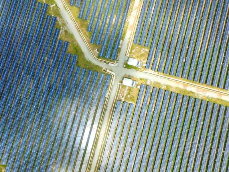
Solar construction depends on steady truck and equipment traffic. Pile drivers, cranes, and delivery trucks need firm, workable routes across the site. Poor road placement can lead to washouts, rutting, and costly delays.
LiDAR terrain models help planners place roads along gentler grades. They also show ditches, berms, and low crossings that may need culverts. Road designers can estimate cut and fill along each route before crews arrive.
The point cloud can also reveal existing features that affect access. Fence lines, overhead lines, tree rows, and old farm roads often show up clearly in the data. Teams should still confirm buried utilities through proper locate services and field checks.
Supporting Solar Panel Layouts With Detailed Terrain Models
Panel layout depends on how rows sit on the ground. Uneven terrain can change pile heights, row spacing, and shading between rows. A detailed terrain model lets designers test layouts before they commit.
With LiDAR data, designers can follow the natural ground where the racking allows it. That approach can reduce grading, which keeps topsoil in place and lowers erosion risk. Where grading is needed, the model helps target only the spots that require it.
Accuracy needs depend on the design stage. Early feasibility work may accept a coarser model than final pile design. Confirm accuracy expectations, point density, and coordinate systems with your mapping provider before the flight is planned.
Applying Drone LiDAR Data During Construction Planning
LiDAR data stays useful after design is done. Contractors can use the terrain model to plan earthwork, staging areas, and laydown yards. Accurate surfaces also support cut and fill estimates for bidding.
Repeat flights during construction can track progress against the design surface. They show how much material has moved and where grading still needs work. That record helps teams catch problems while they’re still easy to fix.
What to Confirm Before a Drone LiDAR Survey
Clear scope up front avoids rework later. Small gaps in scope often turn into a second flight. Before scheduling, confirm these items with your provider:
Project boundary and total area to map
Required accuracy and point density
Coordinate system and vertical datum
Ground control plan and check points
Deliverable formats for your design software
Site access, airspace limits, and flight timing
LiDAR mapping supports design, but it doesn’t replace licensed surveying or engineering. Property lines, legal descriptions, and stamped plans still require licensed professionals. Results also depend on equipment, vegetation, ground conditions, control data, and processing methods.
Frequently Asked Questions
How accurate is drone LiDAR mapping for solar farm sites?
Accuracy depends on the sensor, flight height, point density, ground control, and processing. Vegetation and ground conditions can also affect results. No single number applies to every project. Ask your provider to state expected accuracy in writing and to verify it with independent check points.
Can a drone LiDAR see through grass and brush on a solar site?
LiDAR pulses can pass through gaps in vegetation and reach the ground. That makes it stronger than photos alone for mapping bare earth under plant cover. Very dense brush or thick grass can still limit how many pulses reach the soil. Flying during a season with less growth can improve ground results on some sites.
How long does a drone LiDAR survey take for a solar project?
Timing depends on site size, weather, airspace rules, and the deliverables you need. Field collection is often faster than ground surveying across large areas. Processing, ground classification, and quality checks add time after the flight. Share your design schedule early so the provider can plan around it.
What deliverables should I request for solar design?
Most solar teams start with a classified point cloud and a bare-earth terrain model. Contours, slope maps, and drainage analysis are also common requests. Ask for file formats that work with your civil and solar design software. Confirm the coordinate system and vertical datum so the data lines up with other project files.
Does drone LiDAR mapping replace a boundary survey?
No, LiDAR mapping doesn’t establish legal property lines. Boundary work still requires a licensed land surveyor. LiDAR data supports terrain, drainage, and layout studies within the project area. Many projects use both, with the boundary survey defining limits and LiDAR describing the ground.
